
Finding Berkeley People Along a Street
A Berkeley street directory search begins with one complete address. The address is checked in the Alameda County Property Search, carried into the Berkeley parcel map, and tied to an APN if the map supplies one. That parcel lead can point toward permits, the recorder’s party index, reverse directories, or a lawful source for a resident’s own voter status. The sequence matters because no single source lists every person at every unit.
The address trail can show an owner, a tax-mail recipient, a permit applicant, a listed subscriber, or a past household. Those are separate roles. A street-by-street search should preserve the date of each result and state what it does not establish. A name in a deed is not proof of occupancy, and a directory subscriber is not a complete household roll.
- Run the address through the Alameda County Property Search and save the APN, situs, and mailing details.
- Open the Berkeley parcel map, click the parcel, and inspect nearby polygons and useful layers.
- Use Building Eye or Berkeley permit search to connect the address to projects, dates, and status.
- Pivot the owner lead into the Recorder’s grantor-grantee index, then follow the deed chain by party name.
- Use reverse directories, alphabetic directories, census schedules, and Sanborn sheets for dated household clues.
Berkeley Parcel Fields by Address
The Alameda property interface has two practical modes: parcel number and address. Its captured fields are a Parcel Number text or mode field, a Type Ahead Address autocomplete, a Property Address mode, and Search or Reset controls. The public interface did not show an owner-name field. That means the Berkeley street directory starts with a place and an APN, not a citywide name search.
| Parcel Number | Required when parcel mode is selected; the research example uses a 123-345-67 pattern. |
|---|---|
| Type Ahead Address | Autocomplete field; select the suggested address instead of relying on a loose spelling. |
| Property Address | Required in address mode; the search is keyed to a location. |
| Search / Reset | Action controls; no public owner-name field was displayed. |
Parcel results may separate the situs address from the mailing address. The situs is a locate clue; the mailing address can show where tax material goes. Neither one proves who occupies the building. Keep both values because a deed, permit, map, or old directory may use only one of them.
The Alameda property search is the place to confirm the address-first design.
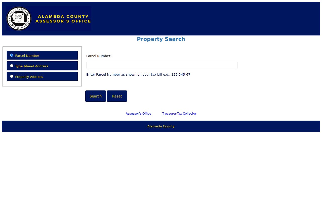
The screenshot’s search modes reinforce the key rule: a street directory search needs a valid location before it can gather person clues.
Berkeley GIS Opens the Adjacent Parcels
The City of Berkeley Community GIS Portal adds the spatial step that a text search cannot provide. Search an address or place, click a parcel, toggle layers, and then click a neighboring polygon. The practical controls include address autocomplete, map click, All Layers, zoom and pan, and a Property Summary panel. Property and Planning, Transportation, Recreation, Environment, City Services, and Fire or Emergency families are available in the research map.
A GIS result can expose APN, situs number, street, unit, city, ZIP, mailing address, values, use or class, year built, building area, lot size, stories, rooms, and other parcel facts. The public schema names an OwnersName display field in metadata, but the inspected public response did not return an owner field. The map is excellent for the block shape and parcel relationship, not for turning a polygon into a verified resident list.
The Berkeley parcel viewer shows the spatial side of the street directory.
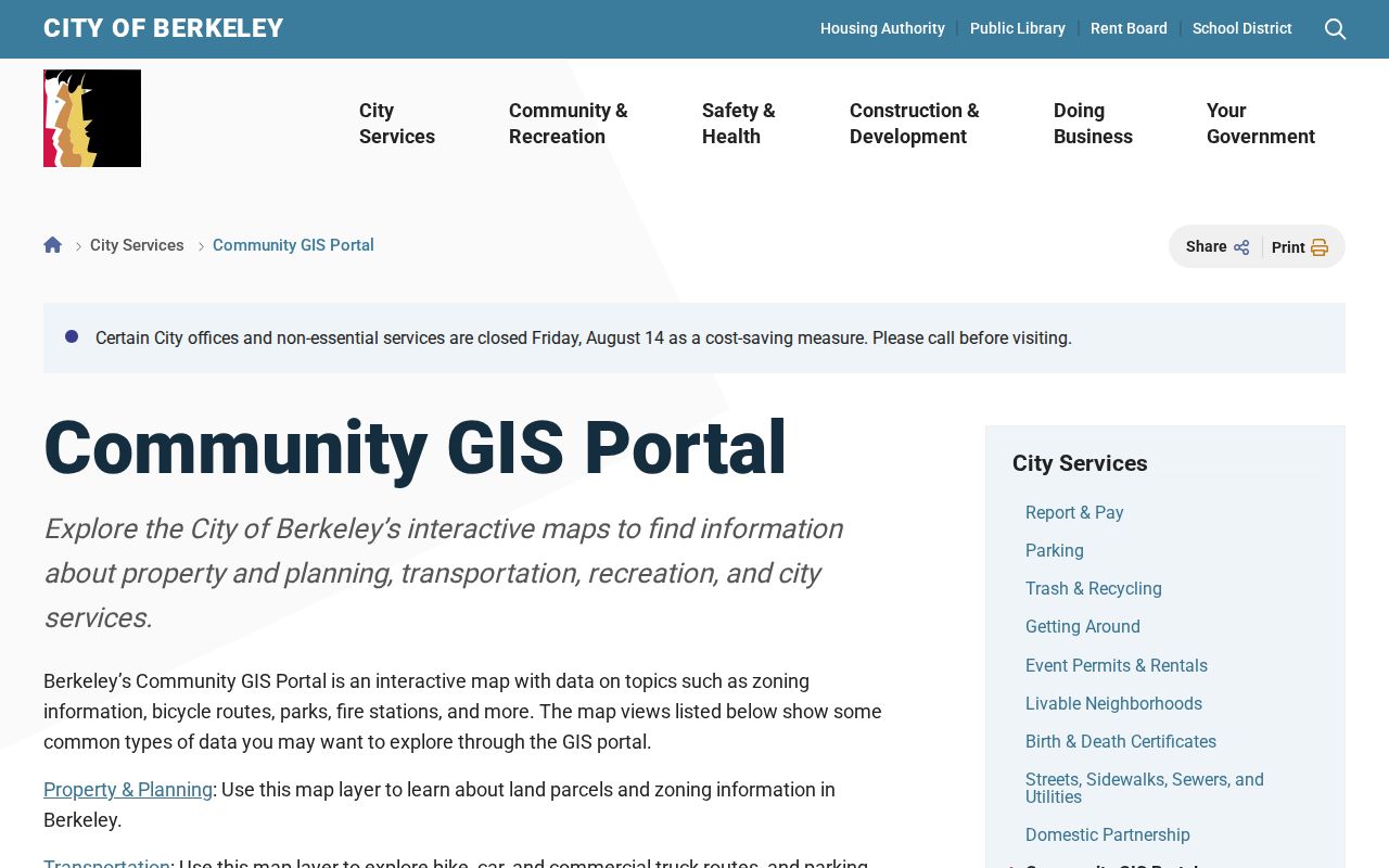
Clicking next-door parcels one at a time is a useful block method, as long as the result remains a parcel fact and not an occupancy claim.
Berkeley Tax Search Adds a Second Parcel Check
The Alameda property-tax portal is a second address or APN route. It can show tax-bill and payment information, assessed values, and delinquency or payment context. The portal is free to search, while an electronic check is free and card payments carry the listed 2.3 percent charge. A tax result complements the property search, but it is still a parcel and billing source.
Compare the APN and situs before moving to a deed. If the tax record and GIS map disagree, preserve both results and check the parcel identifier rather than choosing the cleaner address. An APN such as 57-2021-1 can bridge assessor, GIS, and deed research, but it is not a postal address and it is not occupancy proof.
The Alameda property-tax search is the best place to see the billing-side version of an address clue.
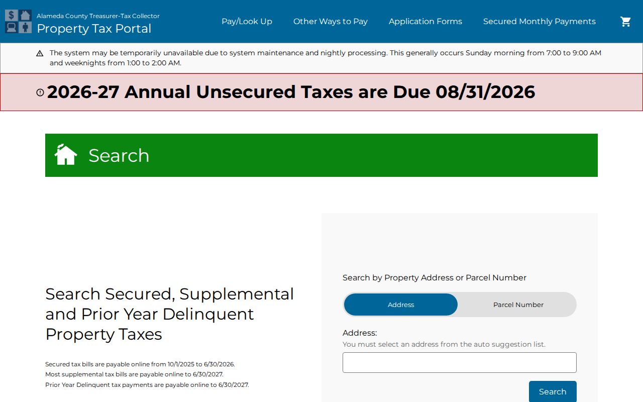
Use a matching APN as a bridge. Do not treat a payment record as a list of everyone connected to the dwelling.
Berkeley Records That Follow a Street
Address-keyed records give a Berkeley street directory its layered shape. The property and tax tools begin with the parcel. GIS adds adjacent shapes and planning layers. Berkeley permits attach projects and status to an address. Reverse directories move from address to listed subscriber. Deeds and liens are the exception: the Recorder’s index is organized by party name, so a street search must pivot through an owner lead.
| Record Set | Keeper | What It Shows | Access |
|---|---|---|---|
| Property / tax facts | Alameda Assessor and Tax Collector | APN, situs, mailing and parcel facts | Free address or APN search |
| GIS parcel map | City of Berkeley | Adjacent parcels, layers, zoning and building facts | Free viewer and map clicks |
| Deeds and liens | Alameda Clerk-Recorder | Recorded parties and transfer chain | 1969-present index; older microfilm; copies charged |
| Permits and zoning | Berkeley Planning and Development | Projects, status, decisions and appeal dates | Online history plus microfiche fallback |
| Reverse directories | Library, BHS, and BAHA | Listed subscribers in street sequence | Digital links, room, or archive access |
Voter records do not fit the same open street model. My Voter Status is self-authenticated, and a full voter file is limited to approved statutory purposes. A by-street analysis therefore cannot rely on a public status page. The chain is strongest when each record’s keeper and access rule remain visible.
Berkeley Permits Along an Address
Building records add a time line to a street directory search. Berkeley’s permit and zoning tools can search by address, neighborhood, or ZIP and can filter permit number, received date, and type. The zoning history is advertised from 1991, while current and post-1993 permit material is online. Reports include active pre-applications, active design review, active landmark projects, active zoning projects, and open appeal periods.
The result can show an address, permit or project number, description, status, environmental determination, decision date, and appeal date. Use the project applicant or owner name as dating evidence, not as proof that every person at the address lived there. The Permit Service Center at 1947 Center Street handles the fallback for pre-1993 permits: microfiche can be viewed there or ordered with the Microfiche Request form.
Berkeley permit research instructions document the online and microfiche split.
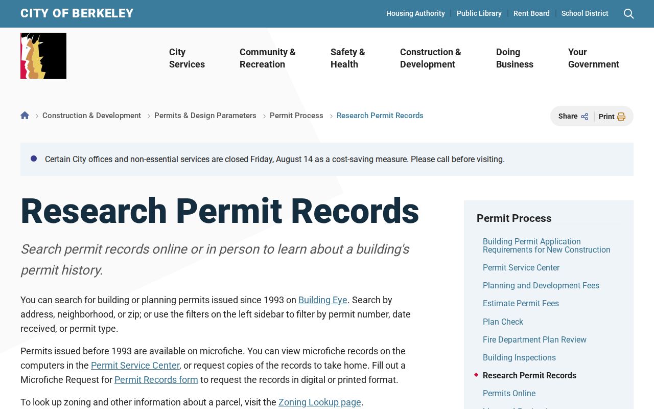
Permit dates can explain a unit change or a new structure, which helps keep an old address from being forced into a false one-to-one timeline.
Berkeley Addresses Change Over Time
Address continuity is a Berkeley street-directory problem of its own. The city assigns, adds, changes, and removes addresses through an application that requires a form, a map of nearby addresses, a site plan, and an active building permit for new construction. The fee is $250 and typical processing is 6 to 8 weeks. City review can include an ownership check and a site visit after permanent construction begins, followed by notices to the Recorder, USPS, utilities, Police, and Fire.
Older sources may use fractional or “Lower Unit” labels that the city no longer issues. A landmark description places 2212 Fifth on the west side of Fifth between Allston and Bancroft. Atherton Street disappeared, and Hamilton Street became McGee. Bridge those clues with tract maps, cross streets, Sanborn sheets, and permit dates before deciding that a name or parcel moved.
Berkeley zoning and building-permit history shows why a current lookup may need an older spelling or unit form.
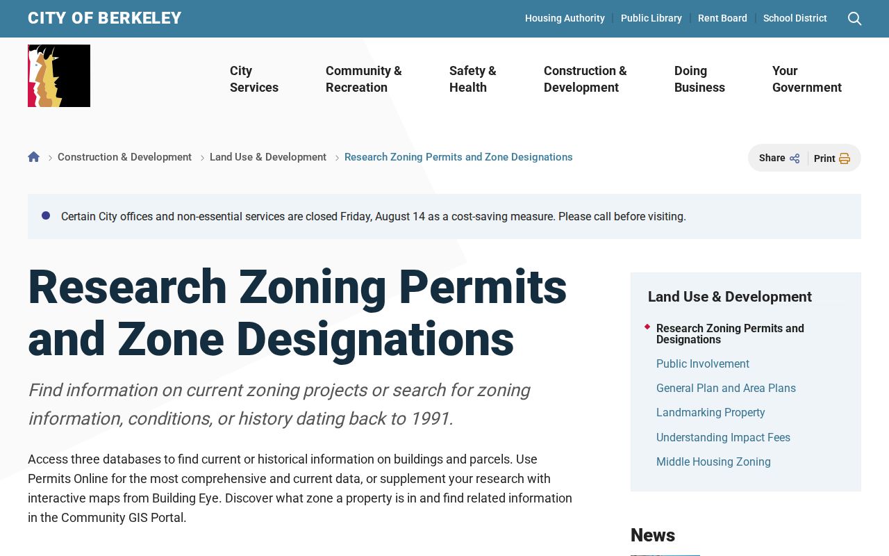
The address trail becomes more honest when a changed number is recorded as a fact rather than silently normalized.
Reverse Directories Put Berkeley Addresses First
Reverse or criss-cross directories are the historical tool most closely shaped like a street directory. Instead of starting with a surname, the researcher starts with a street and house number, then reads a listed subscriber. Berkeley’s PT&T volumes give checkpoints for 1938, 1940, and 1944. Later reverse directories cover 1981 to the present, with some 1960s and 1970s holdings at the Berkeley Historical Society. The Berkeley Public Library History Room also holds telephone books and directory links.
A reverse listing is still a dated subscriber clue. It may miss a household, list only one telephone account, or use an old address form. Pair it with an alphabetic directory, census schedule, obituary, permit, or deed. The Berkeley city directory collections page handles the shelves and year runs in detail; the street directory uses them only to reconstruct address order.
- Parcel
- A mapped land unit tracked by APN, not a list of all people on the land.
- Situs address
- The place address attached to a parcel, distinct from a tax mailing address.
- Plat
- A survey map that helps relate lots, blocks, streets, and legal descriptions.
- Criss-cross directory
- An address-order directory that points to a listed subscriber rather than every occupant.
Berkeley Deeds Need a Name Pivot
The Recorder’s official-record index is the point where a Berkeley street directory stops being a street search. Deeds are alphabetic by party name, not indexed by street address or APN. Start with the current parcel and an ownership lead, search that person as a grantee to find the acquisition document, record the grantor, and then search the grantor as a later grantee. Repeat the chain through the electronic index until 1969, then move to grantor and grantee microfilm for earlier years.
Keep the instrument number, legal description, subdivision, lot and block, map reference, and recording date at every step. The copy-order form uses an instrument number, book and page, or reel and image reference. A recent filing may take about two weeks to appear. Mail orders generally take 5 to 10 business days and need a check or money order plus a self-addressed stamped envelope; in-person printing stops at 4:15, and large orders can take 1 to 3 business days.
- Validate the parcel and save the APN and legal description.
- Find the current grantee deed and note the grantor and instrument number.
- Search that grantor as a prior grantee, keeping each transfer date.
- Switch to microfilm before 1969 and ask the Recorder for copies only after the index lead is clear.
What a Berkeley Street Directory Cannot Show
A street directory cannot reveal every renter, household member, visitor, utility customer, or DMV address. The public parcel schema can omit the owner-name field, a deed identifies recorded parties, a permit names project participants, and a reverse directory may identify one subscriber. California voter data is restricted, and the Driver Privacy Protection Act limits DMV information. Those gaps are legal and structural, not search failures.
Do not infer residence from a mailing address, business license, tax payment, or owner name alone. A safe result describes what the record says and when it said it. If the question shifts from a whole street to one person, use the Berkeley resident lookup workflow and preserve a second independent match.
Lawful use. Berkeley address records support personal, lawful research, family history, and civic understanding. Using them to stalk, harass, intimidate, or harm another person is prohibited.