
Berkeley Block Sources for Nearby Names
A block lookup combines records that describe land, projects, history, and civic contacts. Berkeley GIS is the best first view for adjacent shapes, APNs, situs addresses, building facts, and zoning layers. The property search can add an address or APN lead. Reverse directories and Sanborn maps can show a past street sequence or a contiguous structure. A voter file is not a public block roll, and a neighborhood organization directory is not a member list.
| Source | What It Shows About a Block | Access |
|---|---|---|
| Berkeley Community GIS | Adjacent shapes, APNs, situs, building and zoning layers | Free map clicks, pan, and layer controls |
| Alameda property and tax search | Parcel facts, situs or mailing address, tax lead | Free address or APN search |
| Building Eye and permit files | Nearby planning applications, projects, and status | Free online search; older microfiche fallback |
| Reverse directories | Listed subscribers in a street sequence | History Room or Berkeley historical shelves |
| Sanborn maps | Contiguous historic structures, lots, and uses | Library, archive, or UC digital copy |
| BAHA and BHS files | Block, address, early owner, and house-history clues | Archive or research service |
| California voter file | Residence and precinct sorting for approved purposes | Restricted application and fee |
| Planning notices | Case contacts or nearby organization notices | Case attachments, not a roster |
The sources answer different questions. An APN identifies a parcel, a deed identifies recorded parties, and a reverse directory identifies a subscriber at a point in time. None establishes every current occupant. The same caution applies to a neighborhood association: it can help locate a public contact or meeting channel without revealing a verified list of households.
Note: A block view is a layered research aid, not a public directory of every person who lives, visits, or receives mail nearby.
Click Berkeley Parcels Around One Address
Berkeley's Community GIS Portal supports an address or place search, map clicks, layer toggles, zoom, pan, and a parcel result panel. The practical method is to start with one known address, open its polygon, and click outward. The map can reveal APN, situs number, street, unit, city, ZIP, mailing address, values, use or class, building details, lot size, and the latest document date. The public schema includes a metadata display label called OwnersName, but the inspected public response did not return an owner field.
Use this process for the Berkeley block:
- Search the address in the Berkeley parcel map and confirm the situs line.
- Record the APN, parcel ID, ZIP, mailing address, building facts, and the map date.
- Click each touching polygon and note its APN and situs without assuming the parcel boundary equals a household boundary.
- Use an address or APN lead in the Alameda property or tax search, then move to a deed or permit if the question calls for a recorded party or project.
- For the full named street, switch to the Berkeley street directory chain instead of treating a few adjacent clicks as a street-wide result.
Public Berkeley GIS services support spatial filters, statistics, pagination, and a 2,000-record response maximum. A large response still needs a clear boundary and source date. A map click is a location step, not a finding that a named person occupies the parcel.
Berkeley Building Eye Adds Planning Context
Building Eye and Berkeley permit search add a useful nearby-project layer. Building Eye searches by address, neighborhood, or ZIP and can filter permit number, received date, and type. Berkeley's permit research materials cover current and post-1993 online records, while pre-1993 material is viewed on microfiche at the Permit Service Center or ordered with a Microfiche Request form. The city zoning history is advertised from 1991.
Permits Online exposes Zoning, Address, Project Number, Reports, Record Info, and downloads. Reports include active pre-applications, active design review, active landmark projects, active zoning projects, and open appeal periods. A result may show permit, address, description, status, CEQA determination, decision date, and appeal date. A permit applicant or owner name helps date a project. It is not proof of every person connected with the building.
Current Berkeley records can sit beside a block's older maps and directory clues. Keep the project number and address together, especially where a new unit record changes the shape of a historic parcel.
Berkeley Neighborhood Organizations Are a Discovery Layer
The Berkeley Neighborhoods Council directory can help a person find a public community contact for a block, neighborhood meeting, or local history question. It is an organization discovery layer, not a resident or member roster. The directory names groups such as these:
| Organization listed | Useful discovery question |
|---|---|
| 1100 Block Fresno | Which public block contact covers this stretch? |
| 1300 Arch | Is there a neighborhood channel for local notices? |
| Claremont-Elmwood | Which area organization fits a southeast Berkeley question? |
| North Shattuck | Which public group covers a commercial-corridor concern? |
| Northeast Berkeley | Which local contact can explain a neighborhood boundary? |
| Panoramic Hill | Which public group can point to area history? |
| University Avenue | Which corridor organization handles a public notice? |
The full directory also includes 1100 Block Parker, 1500 Block Fairview, Fifth and Channing, Bateman, Berkeley McGee, Halcyon, Le Conte, Lorin Neighbors, Potter Creek, South Oceanview, Thousand Oaks, Willard, and Woolsey Street organizations. Names help discovery. They do not verify membership, current residence, or a household's presence.
For a visual directory of the local organizations, use the Berkeley Neighborhoods Council organization list.
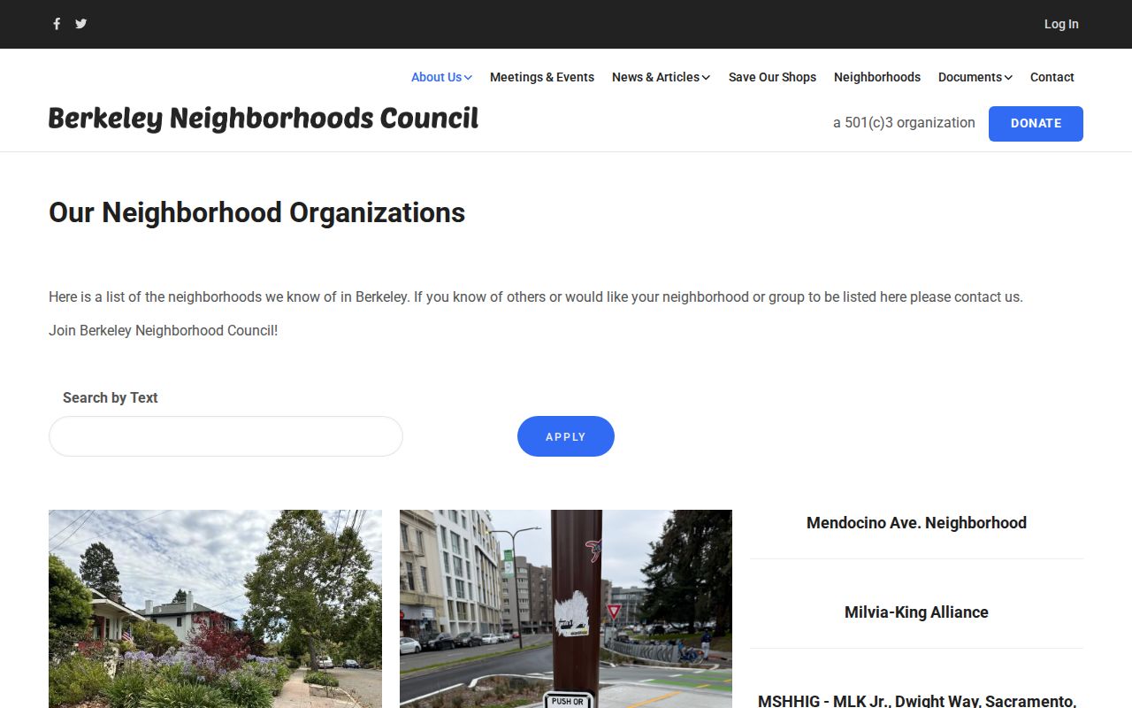
The directory is most useful as a contact bridge. It should not be copied into a claim that a named person belongs to a block group.
Berkeley Planning Notices Name Contacts
Berkeley's neighborhood-notice form is narrower than a community roster. It asks for a group name, mailing address, and description, plus up to two contacts with name, title, address, ZIP, phone, and email. The form returns to Land Use Planning at 1947 Center Street. Those fields can explain which organization received a notice for a case. They do not establish that the contact lives on the noticed block.
No verified public congregation directory, block-watch roster, or HOA member roster was found in the Berkeley research. A public meeting notice can identify a group or contact, but it cannot fill that gap. The safest interpretation is a notice path: case attachment, planning contact, public organization, then a separate source for parcel or historical context.
Berkeley neighborhoods, ZIP codes, parcel lines, and planning-notice areas do not always align. Preserve the case address, named area, organization, and date rather than collapsing them into one boundary.
Berkeley Voter Data Cannot Browse a Block
My Voter Status is an authenticated self-service result. It is not a tool for entering a Berkeley street and viewing people nearby. The self-check asks for first name, last name, date of birth, and a California driver license or ID or the last four digits of a Social Security number. It can return the user's status, address, party preference, polling place, election details, vote-by-mail or provisional status, participation history, and guide preference.
A qualified voter file is a different channel. Candidates, committees, and approved election, scholarly, journalistic, political, or governmental users must state the purpose, scope, and detailed use. The voter-file application requires a wet signature, photo ID, acknowledgments, and a fee. Submission is by mail, courier, or in person, not email or fax. The fee is $15 per 1,000 records, with a $15 minimum and $100 maximum; a statewide file is $100. A specific-voter request is $30 each, capped at $100 for up to ten. Confidential voters and 16-17-year-old preregistrants are excluded.
The data can include residential or mailing address, precinct, status, party, and participation history, but never voting choices. Driver license or ID numbers, Social Security numbers, unique identifiers, and signatures are excluded. An approved file may support a statutory-purpose analysis. It is not permission to create an informal block list.
Historic Berkeley Blocks Need Context
Reverse directories, Sanborn maps, Berkeley Historical Society and BAHA house-history materials, census microfilm, and house-history files can show a block at different moments. Sanborn checkpoints include 1890, 1894, 1911, 1929, and 1950. Reverse PT&T books include 1938, 1940, and 1944, with later reverse coverage from 1981 forward. They show structure, address order, subscriber, or household clues. A deed shows a recorded owner. A census shows household composition. The disagreement between those clocks is often the useful part.
Address continuity also matters. A historic record may describe 2212 Fifth as the west side of Fifth between Allston and Bancroft. Atherton Street disappeared, and Hamilton Street became McGee. Sanborn sheets, tract maps, cross streets, and later GIS help bridge those names. Do not reject a possible neighbor or prior household because a modern address search cannot find an old label.
Berkeley's zoning amendments were adopted July 8, 2025 and became effective November 1, 2025. New duplex, fourplex, or courtyard records can cause a historic single-address trail to branch into current units. The date and unit label belong in the block notes.
The Berkeley zoning amendment materials provide the local context for that recent branch in address history.
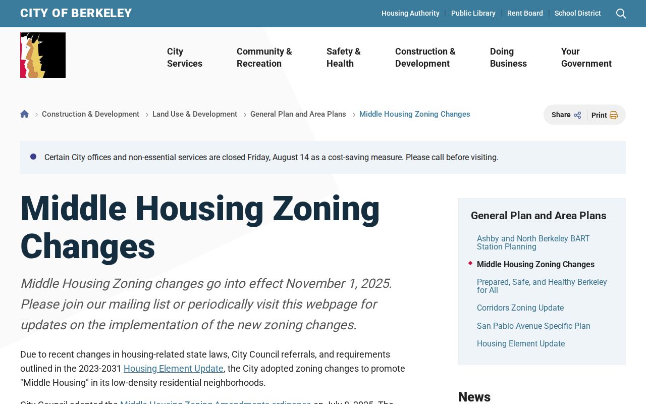
The zoning change is a records clue, not a statement about any particular household.
Berkeley Police Records Have Separate Custodians
Berkeley Police records use NextRequest, email, mail, or the Records Bureau at 2100 Martin Luther King Jr. Way on weekdays from 8 to 2. The published costs include $1 for an incident report by mail, 10 cents per page in person, $10 for a collision report, and $5 for a person's own Berkeley arrest or detention history. Another person's criminal-history printout is not available through this route. UCPD is a separate custodian, with requests sent to ucpd-records@berkeley.edu or 1 Sproul Hall on weekdays from 8 to 3; standing, identification, and a possible fee may apply.
The Berkeley Police records channel helps separate a city record from a campus record before a block question is sent to the wrong office.
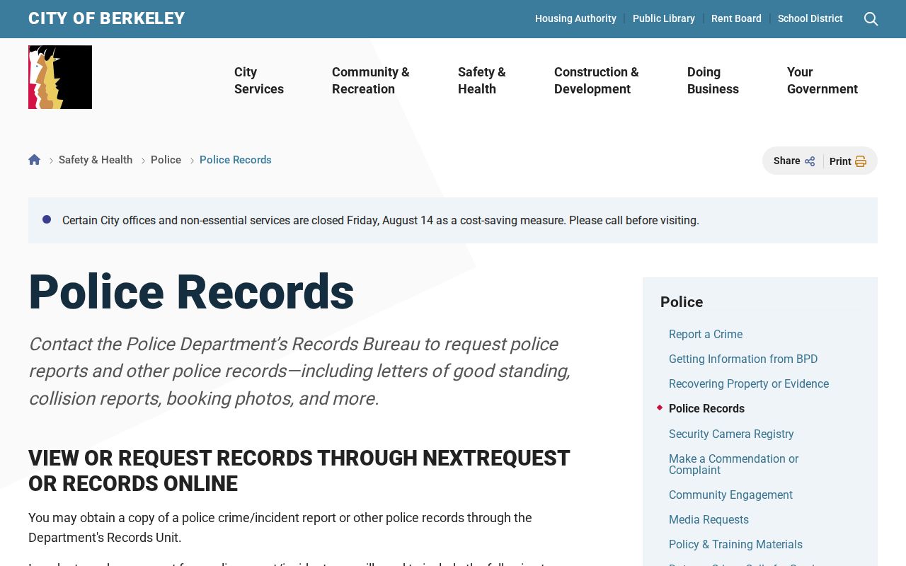
Police records are incident and agency records. They are not a list of current occupants nearby, and a request outcome should not be used to infer a household's daily life.
What Berkeley Neighbors Records Cannot Show
Public block research has hard edges. The address chain cannot show all household members, private delivery or utility customers, DMV data, or a reliable unit-by-unit occupant list. A property owner may not occupy the parcel. A reverse directory may name one subscriber. A planning notice may list one contact. A public agency may withhold protected details. Safe at Home can provide a substitute mailing address and confidential voter registration for qualifying people, but it does not automatically erase older public records.
| Source family | Useful strength | Boundary |
|---|---|---|
| Official parcel and deed records | Parcel identity and recorded parties | Not a complete occupant list |
| Historical directories | Listed subscriber or past address clue | Not every household member or current resident |
| Community organization directory | Public discovery contact | Not a member or household roster |
| Commercial neighbor compilation | May combine public and supplied data | Unverified, stale, merged, and not a source record |
The comparison favors official records for a defined question and a named custodian. Commercial compilations can lag, merge same-name people, or repeat an old address. They should not be treated as a verified local directory or used to expose a protected person.
Lawful Berkeley Neighbor Research
California privacy rules shape the block search. Safe at Home protections, confidential voter status, and restricted agency records can explain why a neighbor does not appear. The California Consumer Privacy Act offers rights that may apply to covered data, but a broker deletion request does not rewrite a deed, parcel, voter, court, or planning source. Keep a source date and use the actual custodian when a correction is needed.
Lawful use. Berkeley block research is for getting to know a block, reconnecting, family history, civic understanding, and personal safety awareness. Do not use a name, address, organization contact, or record clue to stalk, harass, intimidate, or publish identifying information to provoke unwanted contact.
California Penal Code sections 646.9 and 653.2 address stalking, threats, and publishing identifying information to incite unwanted contact or harm. Elections Code section 18109 restricts unauthorized voter-data use. A careful neighbor lookup stops at the boundary between a public parcel fact and a private person's life.